Marine-Earth Science and Technology Research Center
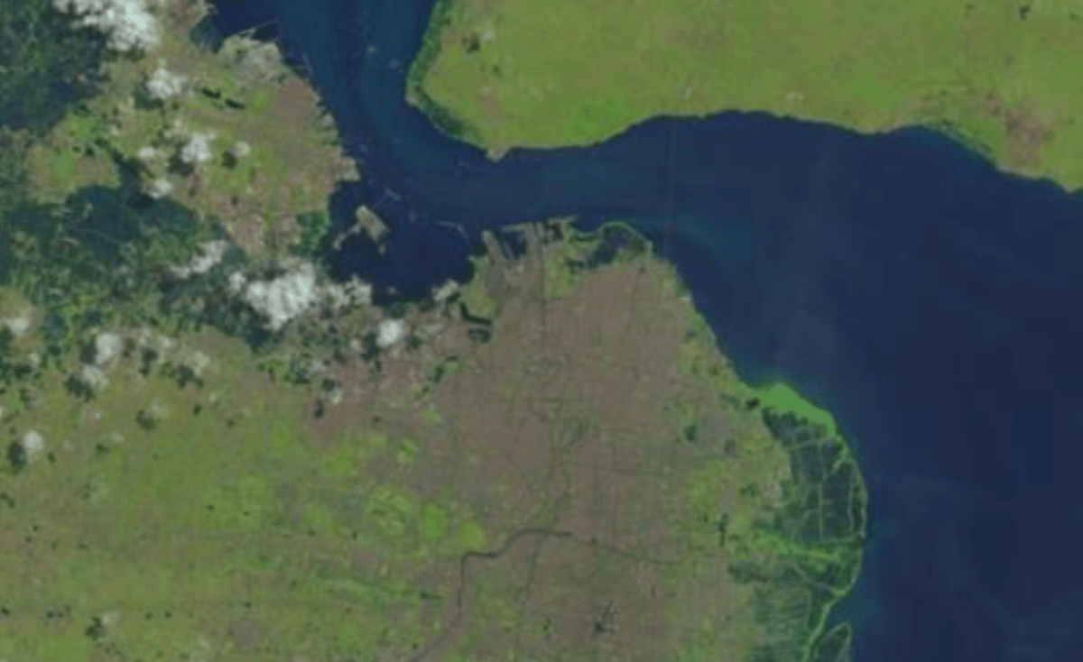
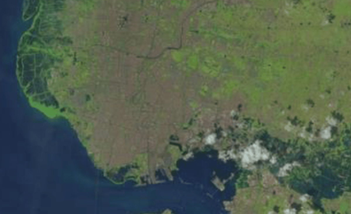
The Marine-Earth Science and Technology Research Center (STKK), under the Directorate of Research and Community Service (DRPM) at ITS, plays a key role in conducting multidisciplinary research and community service, particularly in the fields of marine and earth sciences. These activities span across departments and laboratories, aiming to address scientific challenges as well as national and global issues. STKK holds a strategic position, considering Indonesia’s status as the world’s largest archipelagic country, with a vast marine territory of 5.8 million km² including its Exclusive Economic Zone (EEZ), and a coastline stretching 81,000 km.
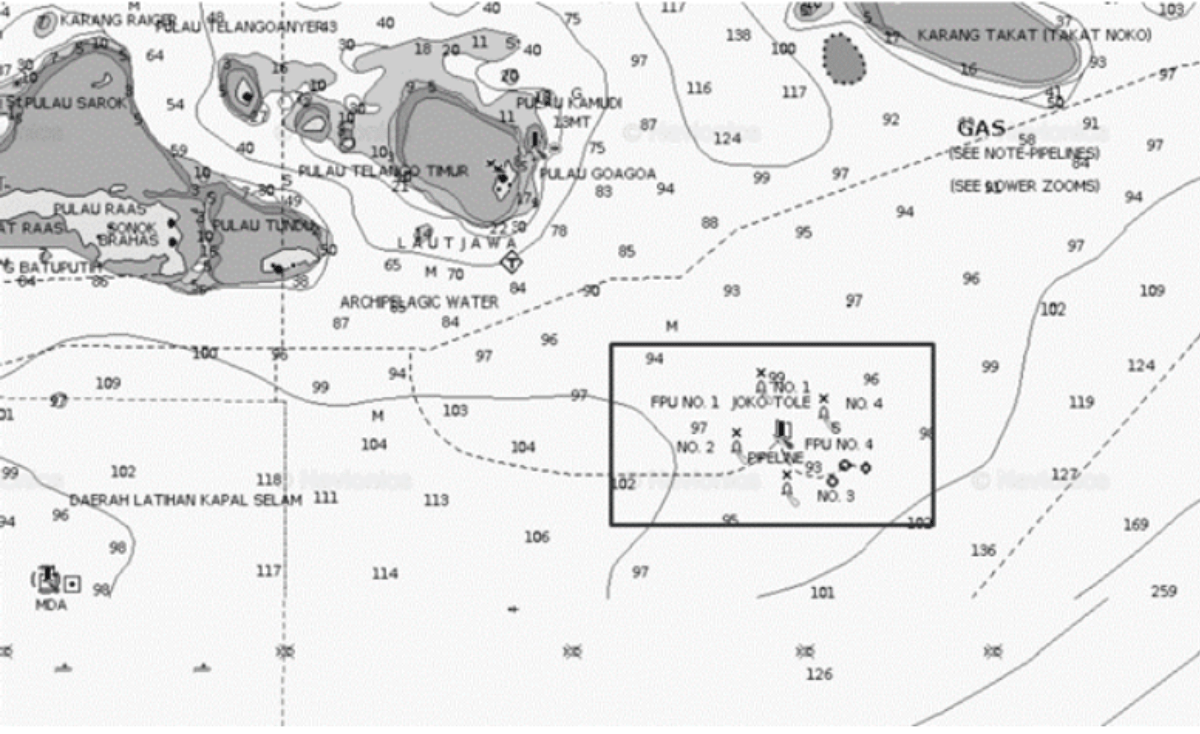
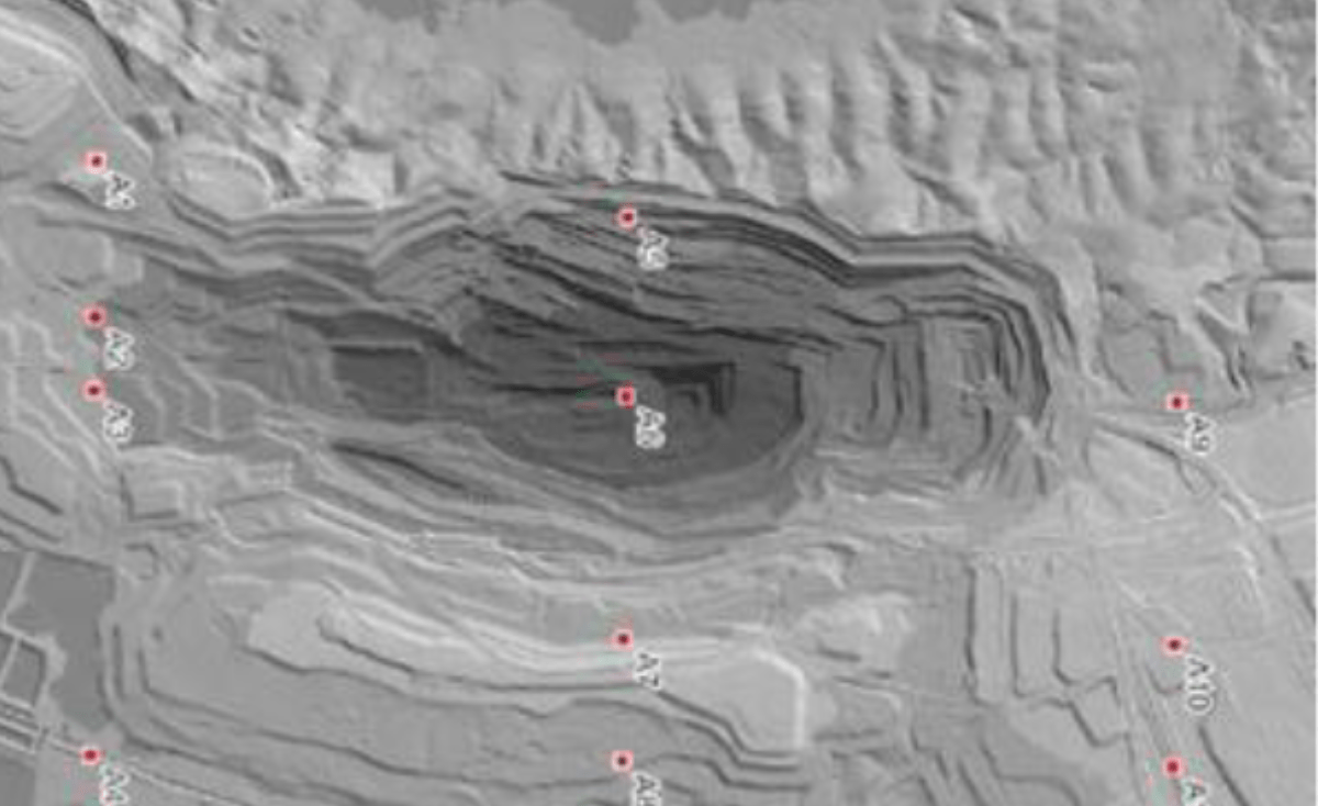
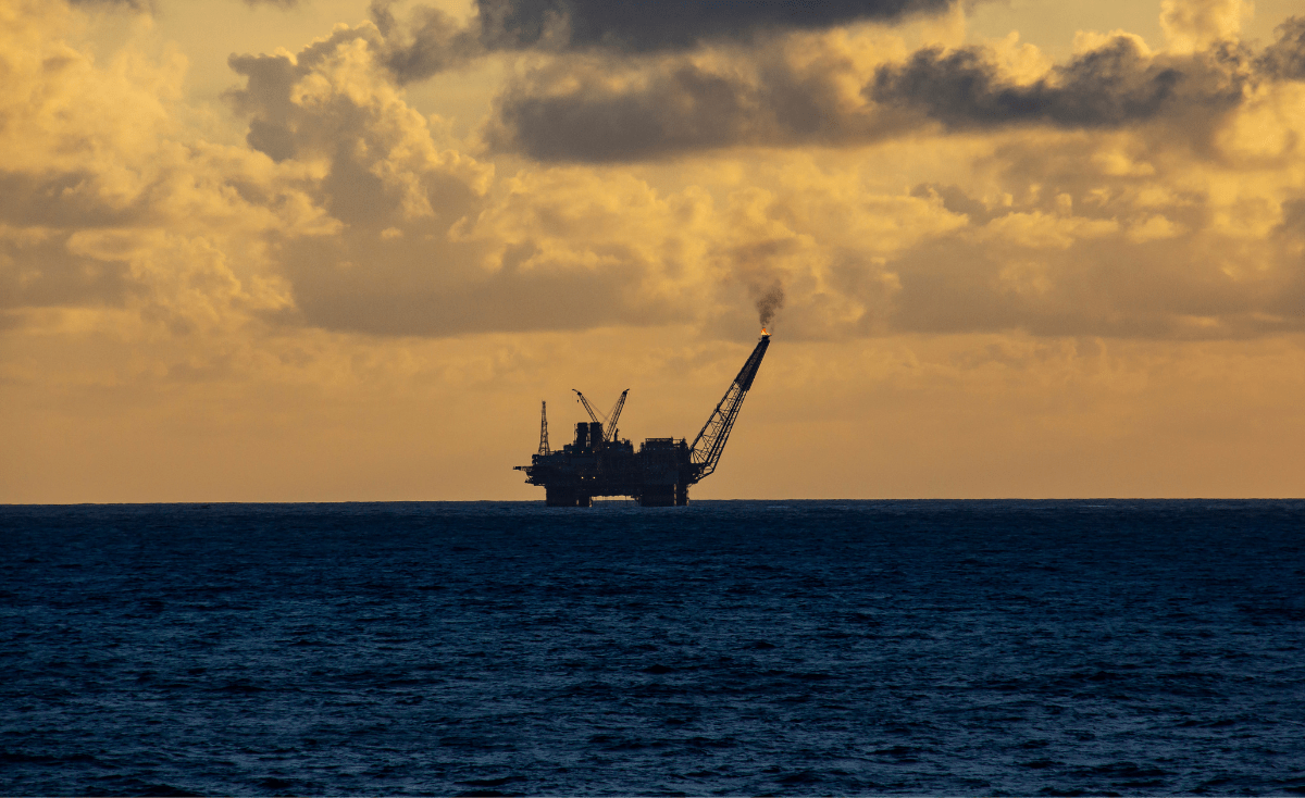
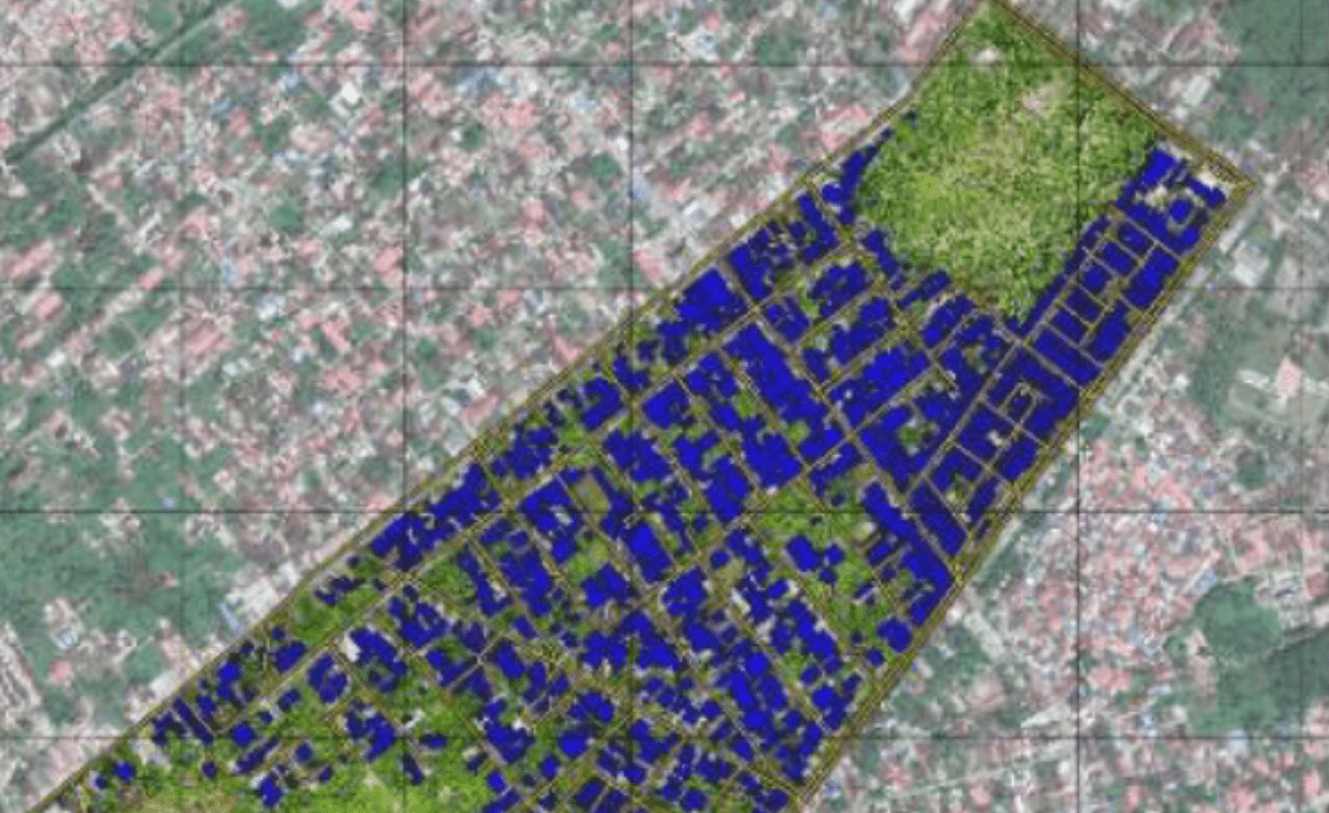
The National Research Master Plan (RIRN) 2017–2045 emphasizes the vast, yet underutilized potential of the marine sector, as shown by its contribution of less than 7.9% to the national GDP. To optimize this potential, advancements in marine-earth science and technology are essential for conserving and monitoring marine resources, exploring natural resources such as minerals and oil & gas, managing water quality, and conducting environmental monitoring and mapping, including land use and cadastral mapping.