ITS Invites the Public to Increase Awareness of Landslide Mitigation
Ir Firman Syaifuddin SSi MT, one of the experts from the ITS Department of Geophysical Engineering reminded the public about the importance of knowing disaster mitigation as a precaution.
ITS Campus, ITS News — Heavy rains that have poured down on various regions in Indonesia lately have often triggered landslides, especially in mountainous areas such as what happened on the Pacet-Cangar route some time ago. Seeing this condition, one of the experts from the Sepuluh Nopember Institute of Technology (ITS) Ir Firman Syaifuddin SSi MT reminded the public of the importance of knowing about disaster mitigation efforts, including landslides.
Firman explained that landslides occur when soil, rocks, or debris move down due to the force of gravity being greater than the retaining force of the slope. According to Firman, landslides can occur in various locations, but areas with steep cliff slopes have a greater risk. “The cliff becomes prone to landslides due to its main slope, especially if it is saturated with water, the load from the rock mass or weathered soil will be heavier,” said the lecturer from the ITS Department of Geophysical Engineering .
Firman added that heavy rain is one of the triggers for landslides in Indonesia. He explained that when rain falls with high intensity, rainwater enters the soil layer and makes it saturated with water. “This condition increases the burden of the soil and rock layers which if they exceed their bearing capacity will cause landslides,” continued the Bandung Institute of Technology alumnus.
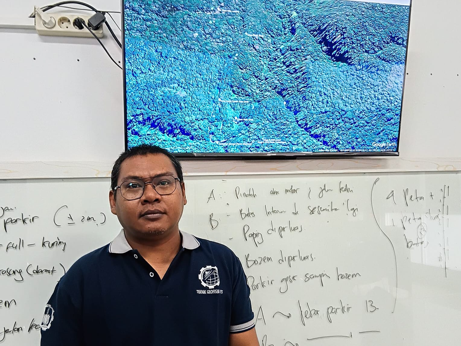
Ir Firman Syaifuddin SSi MT shows the location of the Pacet – Cangar route area that experienced a landslide
Not only that, Firman continued that rain also causes an increase in pore water pressure in the soil. When pore water increases, the hydraulic pressure in the soil also increases. “This will reduce the shear strength of the material on the slope and make it more susceptible to structural failure,” explained the researcher at the ITS Disaster Mitigation and Climate Change Research Center (MKPI).
According to data, the Meteorology, Climatology and Geophysics Agency (BMKG) recorded the potential for extreme weather in East Java during the period of April 3-12. The results of the study showed that very intense rain in less than 12 hours was the trigger for many landslides. One of them was what happened on the Pacet-Cangar route on April 3. “This is because the area has a steep slope and its location is right under the irrigation flow,” he said.
Based on the results of his discussion with the East Java Regional Disaster Management Agency (BPBD) on April 10, the landslide on the Pacet – Cangar route occurred right under the artificial irrigation flow. Some time before the incident, there was heavy rain and the irrigation flow was blocked by fallen trees forming a natural dam. As a result, the water was held back and seeped into the soil layer below which caused the landslide.

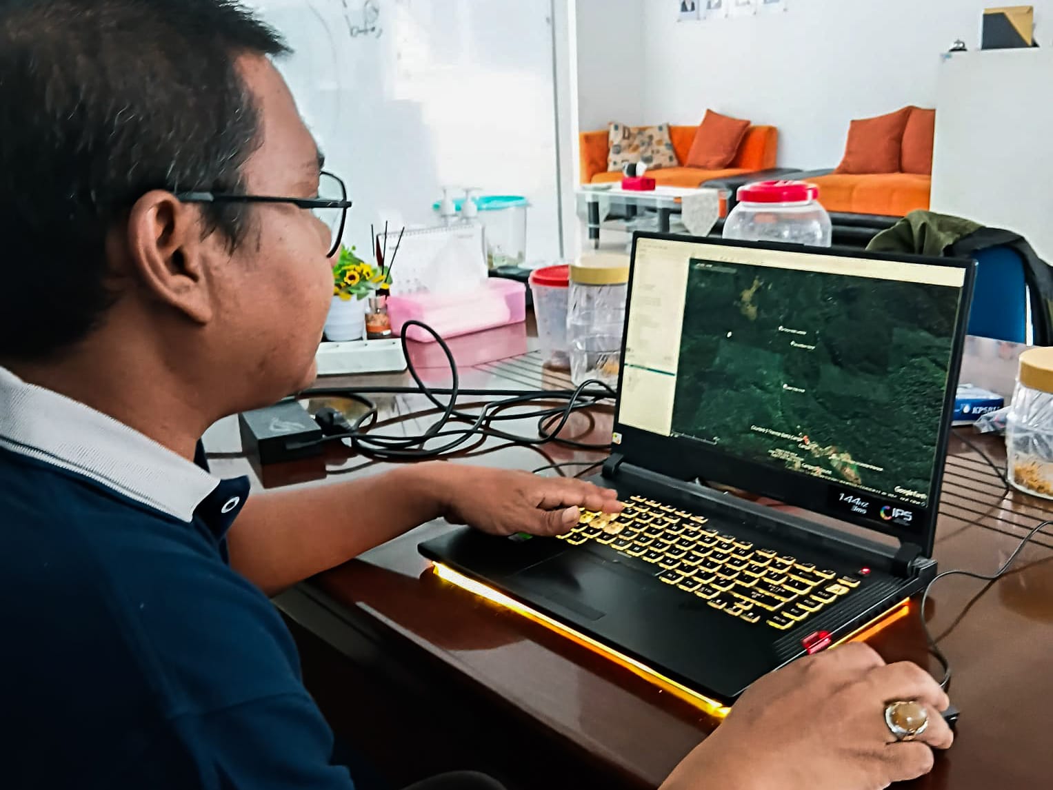
A research team from ITS during a discussion on landslide disasters with the Regional Disaster Management Agency (BPBD) of East Java Province
In addition. Firman also suggested to the government to increase mitigation efforts, including by detailing the vulnerability map of landslides. Through discussions with the East Java BPBD, ITS will help detail the vulnerability map of landslides in East Java Province as a step in mitigating landslide disasters.
Furthermore, the lecturer in Seismology and Disaster emphasized that the community needs to know the areas prone to landslides through mapping of landslide-risk areas. “Knowledge about landslide vulnerability is the main capital in building community capacity in dealing with disasters,” Firman reminded. (ITS PUBLIC RELATIONS)
Reporter: Nailah Rifdah Zakiyah
Translator : Devinka Mutianeira
Related News
-
ITS Develops Four‑Legged Dog Robot with Sensors and Navigation
ITS Campus, ITS News – Institut Teknologi Sepuluh Nopember (ITS) is further solidifying its role in robotic technology
April 17, 2025 10:04 -
ITS Mathematics Alumnus Creates EEG-Based Brain Research Technology
ITS Campus, ITS News — One of the graduates of the Institut Teknologi Sepuluh Nopember (ITS) has succeeded in
April 17, 2025 10:04 -
ITS Promotes FAST-D Scholarship, Unggul, and Global Excellence Scholarship
ITS Campus, ITS News – Institut Teknologi Sepuluh Nopember (ITS) always shows its commitment in supporting students to develop their best
April 17, 2025 10:04 -
Supporting the Implementation of SPMB 2025, ITS Develops the SENOPATI Platform
ITS Campus, ITS News – Showing its contribution in the field of education, Institut Teknologi Sepuluh Nopember (ITS) has redeveloped a platform
April 17, 2025 10:04