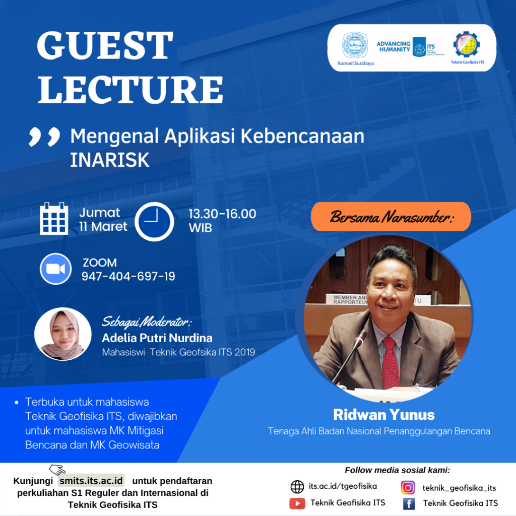
Guest Lecture “Mengenal Aplikasi Kebencanaan INARISK” with Ridwan Yunus from BNPB
Information


Badan Nasional Penanggulangan Bencana (BNPB) has developed an application called InaRisk which aims to present information on potential natural disasters. Not only that, they added new features on the platform so that people can monitor areas at risk of Covid-19 transmission. Plt. Director of the BNPB Disaster Management System M. Robi Amri said that the initial purpose of the InaRisk application was to identify potential hazards at a certain coordinate or point. This is done so that the community gets information about the potential disaster of a location and is equipped with recommendations for anticipatory steps against disasters. With these recommendations, the community can independently anticipate before a disaster occurs, during or after a disaster occurs.
There are several features in the InaRisk application, including: (1) Information menu on recent earthquake events, (2) Settings menu for Location search field, (3) Button to determine the level of danger at the cursor location, (4) Hazard layer display button, (6) InaRisk’s other feature menu (especially Covid-19 risk assessment and preparedness for personal, family and village).
In the activity report feature, BNPB has divided several types of activities related to reporting and it is hoped that users will fill in data and send photos of evidence of activities that have been carried out. The data will be collected on the BNPB server, then entered into the dashboard to see how far the community’s participation is in efforts to prevent disasters and deal with Covid-19. For example, in the Covid-19 pandemic, distribution of drugs, distribution of masks, socialization related to the Covid-19 pandemic can be used, spraying disinfectants, and so on. The activity reports that have been inputted will be able to be viewed and accessed on the InaRisk monitoring dashboard which can be accessed via inarisk.bnpb.go.id/dashboardkegiatan/.
Currently, there are 13 types of disasters whose potential risks can be seen through the InaRisk application and InaRisk Web. These disasters include floods, flash floods, extreme weather, extreme waves and abrasion, earthquakes, forest and land fires, droughts, volcanic eruptions, landslides, tsunamis, multiple hazards, and CovID19. How to use InaRisk to monitor Covid-19 risk where the user is: Open the InaRisk Personal application, then log in with a Google, Facebook, Twitter, or Guest account. After logging in, InaRisk will show the user’s location. the bottom right After that, any level of danger will appear where the user is. Click the ‘COVID-19’ button, InaRisk will bring up Covid-19 mitigation recommendations. Users can also carry out a COVID-19 risk assessment for themselves.
Geophysical Engineering ITS presents Guest Lecture “Mengenal Aplikasi Kebencanaan INARISK”, inviting resource speaker:
- Ridwan Yunus
-
Senior Staff of Badan Nasional Penanggulangan Bencana (BNPB)
which will be held on:
- Day/date: Friday, 11 March 2022
- Time: 13.30-16.00 WIB
- Zoom: its.id/GeoLectures
This event is open to all ITS Geophysical Engineering students, and is required for the Disaster Mitigation course and Geotourism Course.
Materials can be downloaded via the following link:
Latest News
-
ITS Geophysical Engineering Department held a meeting with the parents of new students in 2025. This event was the
-
WEBINAR PERENCANAAN TATA RUANG BERKELANJUTAN BERBASIS RISIKO BENCANA
Kejadian gempa, tsunami, likuifaksi, letusan gunung api, longsor, hujan, banjir, banjir bandang, angin, panas kemarau diikuti karhutla dan kekeringan,
-
ITS Geophysical Engineering Invites Foreign Students to Explore Geophysical Measurement Technology
ITS Geophysical Engineering once again welcomed international guests to share about the activities of the Geophysics laboratory, as part