Celebrating World Day for Combating Land Degradation and Drought 17 June 2021, Dr Ayi Syaeful Bahri: Study and Sustainable Management of Karst is Very Important
Information
Did you know June 17 is World Day for Combating Land Degradation and Drought?
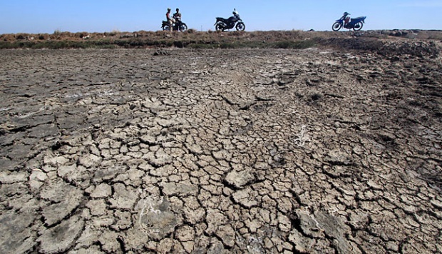
Regarding Land Degradation and Drought, there are several things that cause it due to natural and human factors (environmental damage due to human activities). These two things when juxtaposed together (a combination of the two) lead to an accelerated degradation and drought.

Illustration land drought (source: National.co)
So far, limestone (karst or carbonate) areas have long been stigmatized as dry areas (on the surface) and socially, humans living in their environment have lived with very limited conditions in terms of water availability, although this condition is not necessarily true. Karst aquifers act as large natural rainfall reservoirs, and spring discharge reflects periods of high rainfall, as well as long-term climate change (Chen et al. 2004) in (Entezari et al., 2020).

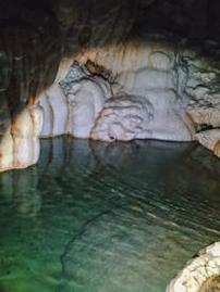
Karst Pacitan, Research Object of Geophysical Engineering ITS, Dr Ayi Syaeful Bahri
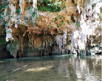
The complexity of the Cretaceous area is geologically very high. The Karst area has a unique morphology and hydrology (the presence of a subsurface river); composed of soluble rocks, such as carbonate rocks and evaporites, which can lead to the formation of aquifers (Entezari et al., 2020) (Zaree et al., 2019) (De la Torre et al., 2020). According to Basha & Zoghbi (2018) in (Yogafanny et al., 2020), what is interesting is that the Karst Aquifer is also a major source of water. Countries that have karst areas use a lot of water sources from this karst area as a source of providing community water needs.

Karst Pacitan, Research Object of Geophysical Engineering ITS, Dr Ayi Syaeful Bahri
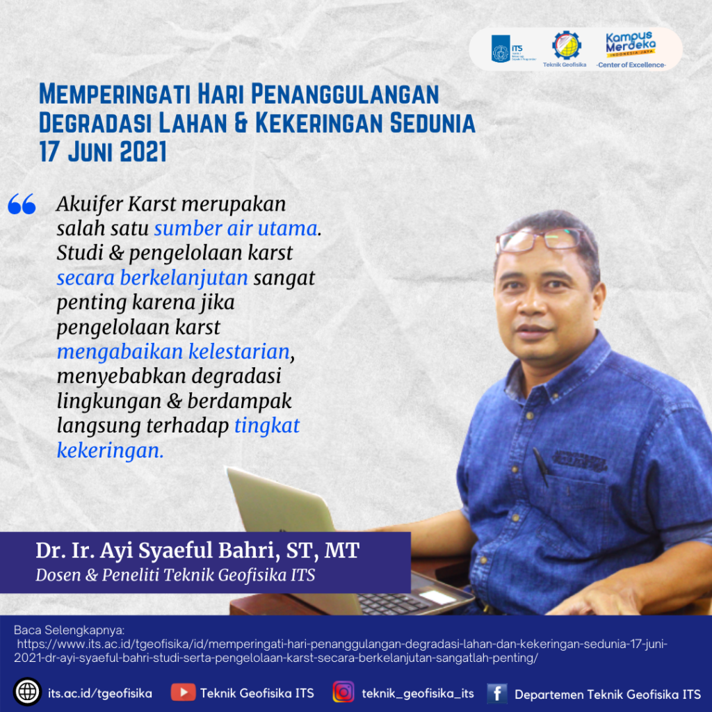
Therefore, the study and sustainable management of karst is very important because of its abundance and potential in forming groundwater aquifers. Karst area management that ignores sustainability will cause environmental degradation and contribute directly to drought levels, this happens because of disruption of the hydrological cycle in the area. One of the factors that must be considered is to maintain the recharge rate of the aquifer (recharge rate) as one of the basic parameters in managing the consumption and maintenance of this resource. It is very important to conduct studies to map the abundance and potential of karst groundwater aquifers.

Researcher & Lecturer of Geophysical Engineering ITS, Dr Ayi Syaeful Bahri
Latest News
-
Beradaptasi dengan Sesar Aktif Penyebab Gempa Darat, Belajar dari Gempa Myanmar
1. Belajar dari Gempa Myanmar Jumat, 28 Maret 2025, pukul 13:20:56 WIB wilayah Mandalay, Myanmar, diguncang gempabumi tektonik. Gempa
-
Kembangkan Deep Nueral Network dan IOT Dalam Carbon Capture Storage, Mahasiswa Teknik Geofisika ITS Sabet Juara 2
Dua Mahasiswa Teknik Geofisika ITS berhasil menjuarai kompetisi nasional INCEPTION 2025. Dimas Xavier Saivascello (5017241010) dan Luvin Diart Lazertino
-
Mahasiswa Teknik Geofisika ITS Sabet Juara 1 Petrowell Study Case Competition
Tiga Mahasiswa Teknik Geofisika ITS berhasil menjuarai kompetisi nasional di bidang Oil & Gas. Tim mahasiswa yang terdiri E.T.A.


