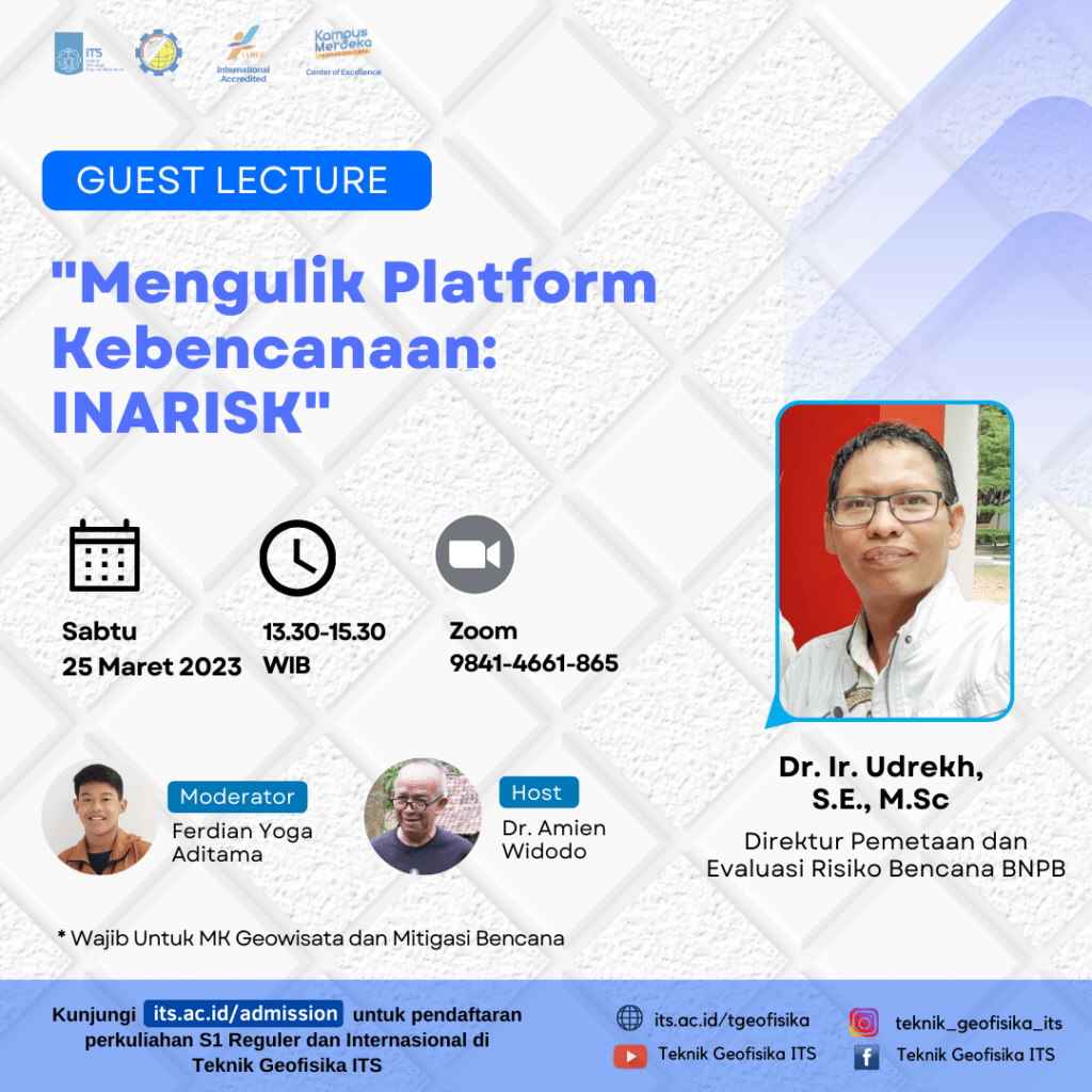
Guest Lecture “Mengulik Platform Kebencanaan INARISK” oleh Dr. Ir. Udrekh, S.E., M.Sc.
Information
Badan Nasional Penanggulangan Bencana(BNPB) launched inaRISK, an internet-based portal application to identify disaster risks in Indonesia. This portal is built on the basis of a GIS server that allows users to use it all over the world, and is user friendly where users are not required to understand GIS when digging for the information they need. The data resulting from a disaster risk assessment is dynamic data that is always developing according to the dynamics of the field.
The InaRISK application must be known by all parties, both the government, local government, the private sector and also the community. It is hoped that all parties can make anticipatory efforts in accordance with their respective duties and functions. All parties can use the data on this portal as a joint reference, just as the Ministry of Agrarian Affairs and Spatial Planning uses it for Regional Spatial Planning (RTR). Based on disaster risk data, disaster management plans can be formulated that are mainstreaming with national, provincial, district and city development plans. In fact, disaster risk data is the first step for an early warning system that is being developed by BNPB into a multi-hazards early warning system.
ITS Geoophysical Engineering presents guest lecture with the topic “Mengulik Platform Kebencanaan INARISK”, inviting resource speaker:
- Dr. Ir. Udrekh, S.E., M.Sc. (Direktur Pemetaan dan Evaluasi Risiko Bencana BNPB)
which will be held on
- Saturday, 25 March 2023
- 13:30 – 15:30 WIB
- Zoom : https://its-ac-id.zoom.us/j/98414661865
Presentation of resource speaker could be accessed through the following link :

Latest News
-
Beradaptasi dengan Sesar Aktif Penyebab Gempa Darat, Belajar dari Gempa Myanmar
1. Belajar dari Gempa Myanmar Jumat, 28 Maret 2025, pukul 13:20:56 WIB wilayah Mandalay, Myanmar, diguncang gempabumi tektonik. Gempa
-
Kembangkan Deep Nueral Network dan IOT Dalam Carbon Capture Storage, Mahasiswa Teknik Geofisika ITS Sabet Juara 2
Dua Mahasiswa Teknik Geofisika ITS berhasil menjuarai kompetisi nasional INCEPTION 2025. Dimas Xavier Saivascello (5017241010) dan Luvin Diart Lazertino
-
Mahasiswa Teknik Geofisika ITS Sabet Juara 1 Petrowell Study Case Competition
Tiga Mahasiswa Teknik Geofisika ITS berhasil menjuarai kompetisi nasional di bidang Oil & Gas. Tim mahasiswa yang terdiri E.T.A.


