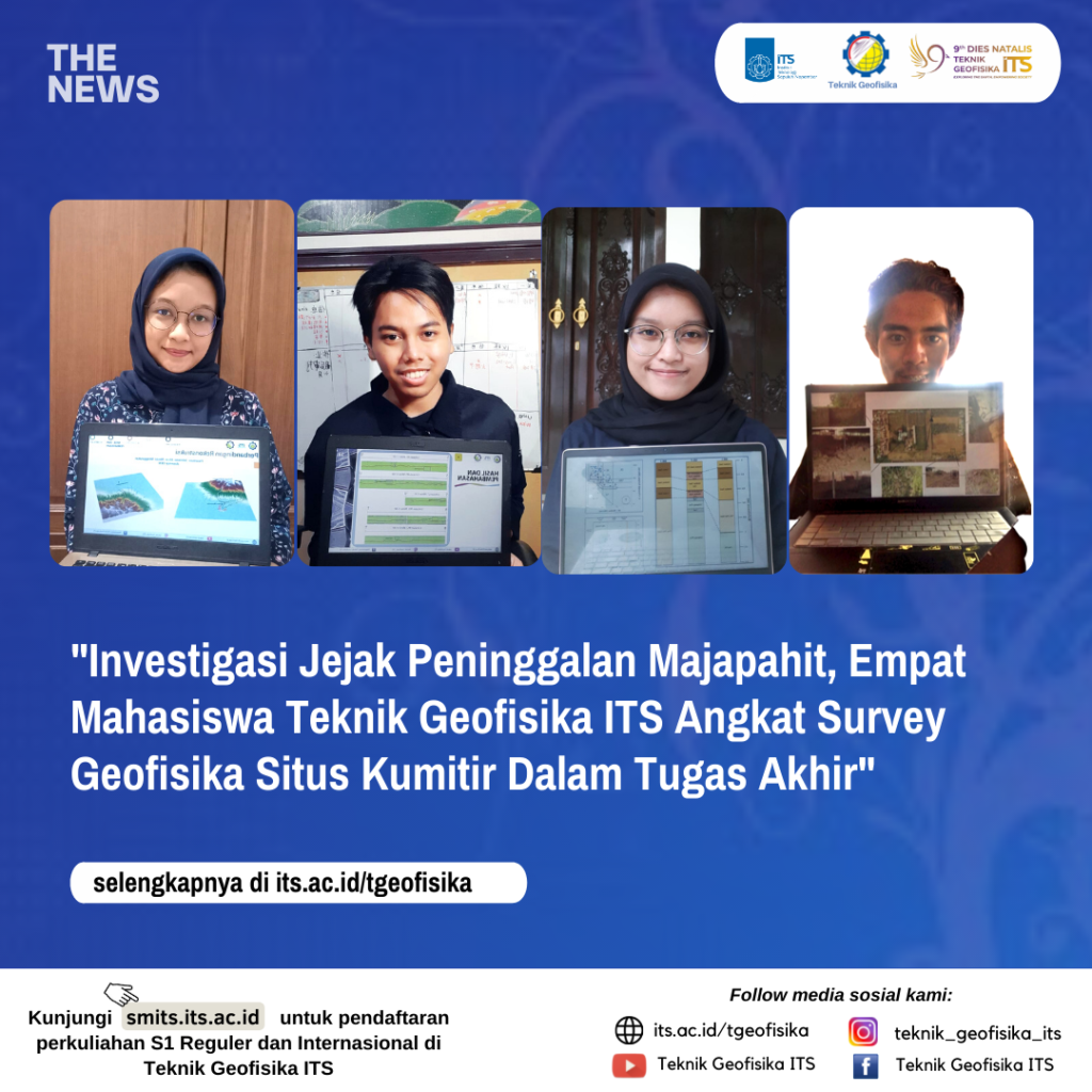
Investigating Majapahit Heritage, Four ITS Geophysical Engineering Students Bring a Geophysical Survey of Kumitir Site to their Final Project
Information

Students of Geophysical Engineering ITS: Rizka Amelia, Dionisius Alfa Amori Kusuma, Isti Faizati Zainiyah and Jody Maulana
The relics of the Majapahit Kingdom that have been found so far have been obtained through a long research, but so far the results of this research have not provided a complete picture of the whole city of Majapahit (Sarwono, 2004).
The Kumitir site, one of the sites suspected of being a relic of the Majapahit Kingdom, became the object of research by ITS Geophysics Engineering which tried to investigate the existence of the hidden Majapahit. 4 ITS Geophysical Engineering students consisting of Rizka Amelia, Dionisius Alfa Amori Kusuma, Isti Faizati Zainiyah and Jody Maulana have executed geophysical measurement research which is packaged as a Final Project.

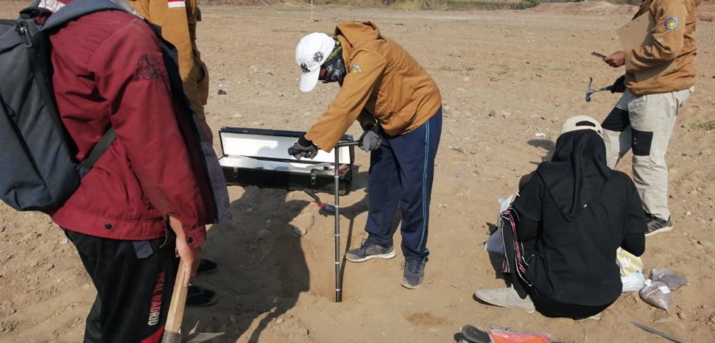
Research in Situs Kumitir by Students of Geophysical Engineering ITS
Rizka Amelia, raised the topic “Reconstruction of Debris Flow in the Historical Period of Mount Anjasmoro Covering the Kumitir Site Using Multiple Flow Direction Algorithms and Laharz Mathematical Models”. This research aims to reconstruct the flow that is thought to cover the Kumitir Site.
Then the allegation that the Kumitir Site was buried by volcanic activity also motivated Dionisius Alfa Amori Kusuma’s research. Raising the topic “Identification of the Lithology of the Kumitir Hoarding Using the Ground Penetrating Radar Method”, Dionisius answered the alleged penetration depth and the factors that influence it, the lithology of the hoarder and the straightness of the lithology in the area of the Kumitir Site.

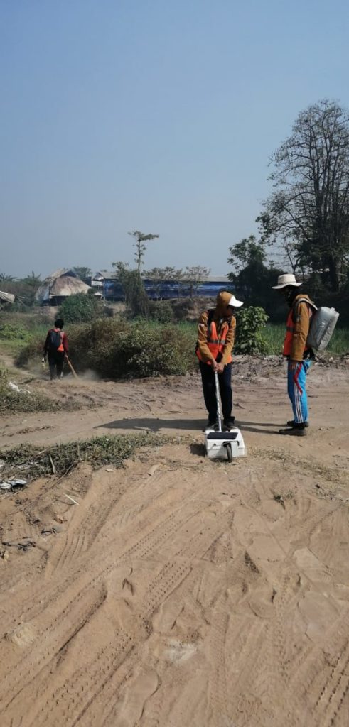
Research in Situs Kumitir by Students of Geophysical Engineering ITS Using Ground Penetrating Radar (GPR)
With the same tool, the Ground Penetrating Radar, Jody Maulana investigated the distribution of the hidden structures of the Majapahit kingdom. The topic of his final assignment entitled “Modeling the Pattern of Distribution of the Structure of the Majapahit Kingdom at the Kumitir Site Using the Ground Penetrating Radar (GPR) Method”, succeeded in modeling 19 lines of alleged structural continuity at the Kumitir Site, with 13 lines directed southwest – northeast and 6 lines others are in a southeast-northwest direction.
Isti Faizati Zainiyah, who investigated the depositional environment from the side of the depositional environment, also carried out identification of the depositional area at the Kumitir site, using granulometric analysis. The topic of his final project entitled “Identification of the Depositional Environment of the Kumitir Mojokerto Site, East Java Using Granulometric Analysis Methods”, revealed that the sediment texture (granulometry) and supported by stratigraphic measurement data, found that the type of depositional environment was distal alluvial fan.
The results of this study are expected to help BPCB East Java and other related parties, to provide references regarding the reconstruction of the buried Kumitir Site, a legacy of the Majapahit Kingdom.
Latest News
-
Beradaptasi dengan Sesar Aktif Penyebab Gempa Darat, Belajar dari Gempa Myanmar
1. Belajar dari Gempa Myanmar Jumat, 28 Maret 2025, pukul 13:20:56 WIB wilayah Mandalay, Myanmar, diguncang gempabumi tektonik. Gempa
-
Kembangkan Deep Nueral Network dan IOT Dalam Carbon Capture Storage, Mahasiswa Teknik Geofisika ITS Sabet Juara 2
Dua Mahasiswa Teknik Geofisika ITS berhasil menjuarai kompetisi nasional INCEPTION 2025. Dimas Xavier Saivascello (5017241010) dan Luvin Diart Lazertino
-
Mahasiswa Teknik Geofisika ITS Sabet Juara 1 Petrowell Study Case Competition
Tiga Mahasiswa Teknik Geofisika ITS berhasil menjuarai kompetisi nasional di bidang Oil & Gas. Tim mahasiswa yang terdiri E.T.A.


