The Necessity of Awakening of National Geophysical Technology, Article by Firman Syaifuddin, S.Si, M.T. in Commemorating National Technology Awakening Day
Information
Nature of Indonesia as a beautiful and rich gift of God has various kinds of consequences, both positive and negative. Wealth of natural resources is an abundant potential and we can use it for the progress of the nation’s civilization. Geologically, Indonesia also has the potential for frightening disasters such as earthquakes, tsunamis, volcanic eruptions and other natural events that can pose a threat to disasters.
Geophysics, one of the branches of earth science, has a significant role in managing the potential of natural resources and managing various threats of geological disasters that may occur. Many geophysical exploration efforts have been carried out in order to explore the potential of natural resources in Indonesia, such as the wealth of hydrocarbon resources, the wealth of mining and mineral materials, geothermal potential that can be utilized, as well as groundwater reserves which are now starting to decrease and have the potential to become a problem in Indonesia. future. Many efforts to identify potential geological disaster threats have also been carried out using a geophysical method approach, in the context of a disaster monitoring efforts have also been carried out using a geophysical method approach.

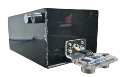
Tsunami Early Detection Tool, one of the results of research from ITS Geophysical Engineering researchers
Various efforts in geophysics such as exploration, identification, and monitoring activities with geophysical methods are very dependent on the development of existing technology, especially the development of the geophysical method itself, the development of computing technology and the development of instrumentation technology. Currently, Indonesia has many human resources that are quite capable in mastering geophysical methods, many young Professors and Doctors are born from various campuses in Indonesia who are competently aligned with world-class geophysicists.
With the increasing number of geophysicists in Indonesia, it can directly encourage the development of geophysical technology in Indonesia. Today there are many geophysical instruments or equipment that are capable of being produced domestically and can be used properly in the field, almost all of the equipment developed is the result of research carried out on university campuses in Indonesia, in other words technological developments, especially geophysical instruments can develop rapidly. good if the research on campus continues and gets full support both financially and support in marketing the results created, so that national geophysical technology in the future is expected to be able to develop rapidly and be able to compete with products from abroad and become a host in their own country.

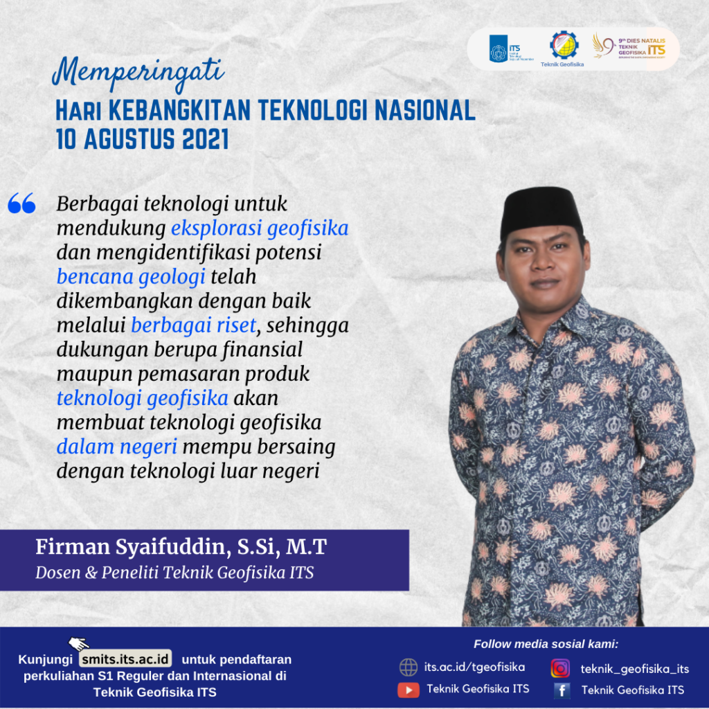
A short quote in commemoration of the National Technology Awakening Day from Firman Syaifuddin, S.Si, M.T.
Latest News
-
Beradaptasi dengan Sesar Aktif Penyebab Gempa Darat, Belajar dari Gempa Myanmar
1. Belajar dari Gempa Myanmar Jumat, 28 Maret 2025, pukul 13:20:56 WIB wilayah Mandalay, Myanmar, diguncang gempabumi tektonik. Gempa
-
Kembangkan Deep Nueral Network dan IOT Dalam Carbon Capture Storage, Mahasiswa Teknik Geofisika ITS Sabet Juara 2
Dua Mahasiswa Teknik Geofisika ITS berhasil menjuarai kompetisi nasional INCEPTION 2025. Dimas Xavier Saivascello (5017241010) dan Luvin Diart Lazertino
-
Mahasiswa Teknik Geofisika ITS Sabet Juara 1 Petrowell Study Case Competition
Tiga Mahasiswa Teknik Geofisika ITS berhasil menjuarai kompetisi nasional di bidang Oil & Gas. Tim mahasiswa yang terdiri E.T.A.


