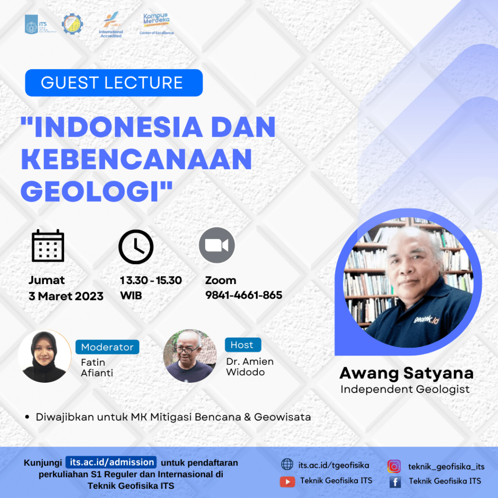
Guest Lecture “Indonesia dan Kebencaan Geologi” Inviting Awang Satyana
Information
Indonesia and Geological Disaster
The Indonesian people live in an active tectonic plate confluence area and in a tropical climate area. This means that we live in an area prone to earthquakes, tsunamis, liquefaction, volcanic eruptions, ground movements, etc. At the same time we live in an area with lots of rain, wind, heat, high tides, big waves etc. that occur every year. In the last few years, the phenomenon of el nino, la nina, cyclones etc. has appeared. which contributed to triggering and magnifying droughts, landslides, and flash floods.
The results of the research show that these natural events have strengths, return periods, locations and certain paths that can be recognized. Natural events will continue to occur as part of the dynamics of the earth and we must adapt to these conditions. For example, we live in a M6.0 earthquake area, so our houses must comply with earthquake resistant building regulations and the whole community must prepare themselves for a M6.0 earthquake. Don’t blame nature anymore if we haven’t tried to adapt to the natural conditions in the area.
Want to know more? Let’s join and actively participate in the GUEST LECTURE :
- Awang Satyana
- Independent Geololgist
It will be held on :
- Friday, 3 March 2023
- 13:30 – 15:30 WIB
- Zoom : https://its-ac-id.zoom.us/j/98414661865

Latest News
-
Beradaptasi dengan Sesar Aktif Penyebab Gempa Darat, Belajar dari Gempa Myanmar
1. Belajar dari Gempa Myanmar Jumat, 28 Maret 2025, pukul 13:20:56 WIB wilayah Mandalay, Myanmar, diguncang gempabumi tektonik. Gempa
-
Kembangkan Deep Nueral Network dan IOT Dalam Carbon Capture Storage, Mahasiswa Teknik Geofisika ITS Sabet Juara 2
Dua Mahasiswa Teknik Geofisika ITS berhasil menjuarai kompetisi nasional INCEPTION 2025. Dimas Xavier Saivascello (5017241010) dan Luvin Diart Lazertino
-
Mahasiswa Teknik Geofisika ITS Sabet Juara 1 Petrowell Study Case Competition
Tiga Mahasiswa Teknik Geofisika ITS berhasil menjuarai kompetisi nasional di bidang Oil & Gas. Tim mahasiswa yang terdiri E.T.A.


