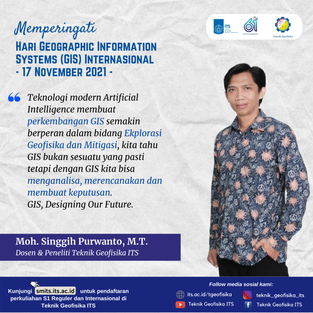
Memperingati Hari International Geographic Information Systems pada 17 November 2021, oleh Moh. Singgih Purwanto, M.T.
Information
This year’s International GIS Day is commemorated on November 17, 2021, which has the purpose to enliven the science of geography globally.
.
Environmental Systems Research Institute (ESRI), an international company engaged in the field of Geographic Information Systems (GIS), set up GIS day to celebrate the first Geographic Information System technology in 1999, to give appreciation to people who study and work in the field geographers and users of GIS technology.
.
In the era of the industrial revolution 4.0, modern Artificial Intelligence technology has made GIS development increasingly instrumental in the field of Geophysical Exploration and Mitigation. We know GIS is not something certain but with GIS we can analyze, plan and make decisions.
.
GIS designing Our Future.
– Moh. Singgih Purwanto, M.T.

Latest News
-
Pertajam Keilmuan Petrofisikamu dengan Studi Kasus Di Dunia Oil and Gas, dalam PETROPHYSICS TRAINING 2025!
Teknik Geofisika ITS mengajak anda untuk mendalami pengetahuan dan masalah-masalah yang terjadi seputar Petrofisika dalam acara PETROPHYSICS TRAINING 2025.
-
Kuliah Tamu “Bahaya Geologi Penurunan Tanah Daerah Pesisir Pantai Utara Jawa”
Teknik Geofisika ITS menyelenggarakan Kuliah Tamu “Bahaya Geologi Penurunan Tanah Daerah Pesisir Pantai Utara Jawa” dengan mengundang narasumber dari
-
WEBINAR “CERITA SUKSES UGG KEBUMEN & UGG MERATUS”
Teknik Geofisika ITS dan Ikatan Ahli Geologi Indonesia (IAGI) menyelenggarakan webinar “Cerita Sukses UGG Kebumen dan UGG Meratus”, mengundang


