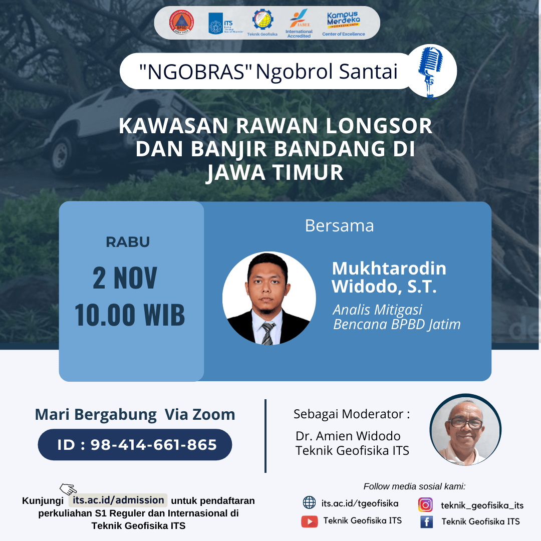
‘NGOBRAS’ Ngobrol Santai : Kawasan Rawan Longsor dan Banjir Bandang di Jawa Timur
Information
BMKG Juanda issued an advisory regarding the potential for extreme weather in the next week in East Java. Ms. Khofifah Indar Parawansa as Governor of East Java appealed to her citizens, especially those living in disaster-prone areas, to be aware of the impact of extreme weather which is predicted to last until January 2023. Preparedness must be increased, such as landslide-prone environments must be mapped and anticipated, as well as mitigation to evacuation scenarios also prepared.
BPBD East Java has mapped 14 potential disasters, including 13 natural disasters and one non-natural disaster. The 13 natural disasters that have the potential to occur in East Java are floods, flash floods, extreme weather, extreme abrasion waves, earthquakes, forest fires, droughts, volcanic eruptions, landslides, tsunamis, technological failures, disease epidemics. , and liquefaction. According to BPBD East Java, areas that have the potential for flash floods and landslides are Bojonegoro, Jombang, Mojokerto, Madiun City, Madiun Regency, Magetan, Ngawi, Nganjuk, Pacitan, Ponorogo, Trenggalek. Then Tulungagung, Kediri City, Blitar Regency, Blitar City, Kediri Regency, Malang Regency, Malang City, Batu City, Pasuruan, Probolinggo, Situbondo, Bondowoso, Banyuwangi, Jember, Lumajang, Sampang, Bangkalan, Gresik, Lamongan.
Data for 2021 RECORDED by the East Java bpbd there are as many as 166 flood cases in East Java. Then 62 cases of strong winds, 12 flash floods, 30 landslides, 19 tornadoes, 6 earthquakes, and 14 other cases. The East Java BPBD has sent a circular to the regent/mayor regarding the potential for extreme weather in East Java. So that each district/city activates the disaster management task force.
Why is East Java prone to landslides and flash floods? What are the signs in the field like? What should the community do to prevent disasters from occurring and/or reduce the risk of bus disasters?
ITS Geophysical Engineering in collaboration with BPBD Jatim present ‘NGOBRAS’ Ngobrol Santai: “Kawasan Rawan Longsor dan Banjir Bandang”, with inviting resource speaker :
- Mukhtarodin Widodo, S.T. (Disaster Mitigation Analyst of BPBD Jatim)
as moderator:
- Dr. Amien Widodo (Lecturer of ITS Geophysical Engineering)
This event will be held on:
- Day/Date : Wednesday, 2 November 2022
- Time : 10.00 – 12.00 WIB
- Link ZOOM https://its-ac-id.zoom.us/j/98414661865
presentation of resource speaker could be access through the following link:

Latest News
-
Beradaptasi dengan Sesar Aktif Penyebab Gempa Darat, Belajar dari Gempa Myanmar
1. Belajar dari Gempa Myanmar Jumat, 28 Maret 2025, pukul 13:20:56 WIB wilayah Mandalay, Myanmar, diguncang gempabumi tektonik. Gempa
-
Kembangkan Deep Nueral Network dan IOT Dalam Carbon Capture Storage, Mahasiswa Teknik Geofisika ITS Sabet Juara 2
Dua Mahasiswa Teknik Geofisika ITS berhasil menjuarai kompetisi nasional INCEPTION 2025. Dimas Xavier Saivascello (5017241010) dan Luvin Diart Lazertino
-
Mahasiswa Teknik Geofisika ITS Sabet Juara 1 Petrowell Study Case Competition
Tiga Mahasiswa Teknik Geofisika ITS berhasil menjuarai kompetisi nasional di bidang Oil & Gas. Tim mahasiswa yang terdiri E.T.A.


