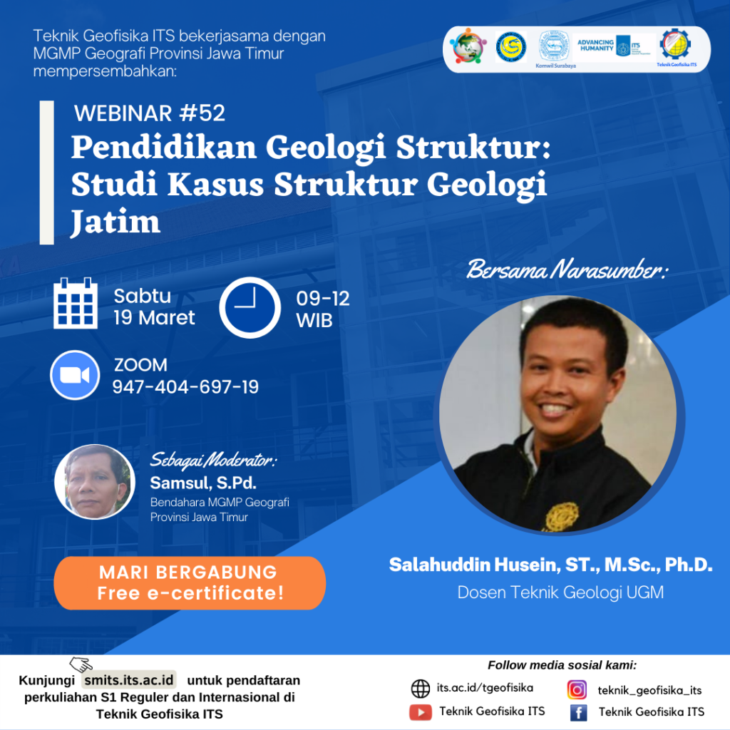
Webinar #52 “Pendidikan Geologi Struktur: Studi Kasus Struktur Geologi Jatim”
Information
The rocks and minerals that make up the Earth’s crust, which humans need as a natural resource, are scattered according to a certain pattern. These patterns are governed by the process of forming geological structures, which fold and break rocks, and form mountains. The natural fluids we need, from oil and gas, geothermal, to groundwater, mostly require rock fractures to pass through so that they can be reached by humans. Rock fracture is one form of geological structure. Economical and valuable minerals, such as gold and silver, are also mostly found wedged in rock cracks. Rare earth metals which are now the prima donna of industry brought by rocks of the oceanic crust, can only be mined by humans if the tectonic processes that form the geological structure succeed in bringing the crust to the surface of our land as part of the formation of mountains.
Structural Geology is a branch of earth science that studies the types of geological structures and the forces that form them, as well as studying the process of mountain formation. Most geological structures are formed by tectonic forces generated by the movement of the Earth’s lithospheric plates. The process of tectonic movement is mostly concentrated in the orogenic strip at the edge of the lithospheric plate, which is visible to us as a series of non-volcanic mountains. One of the impacts of geological disasters from the formation of mountains is the release of earthquake energy that comes from the movement of rocks that are being lifted at the base of the mountain body. By knowing Structural Geology, we can understand how mountains were formed, land was uplifted, rocks were spread, folded, and fractured, and how the tectonic forces that formed them can cause geological disasters.
East Java, a province on the eastern tip of Java Island, is faced with tectonic interactions of plate margins off the coast of the Indian Ocean, receiving many tectonic forces which are responded to by the uplift of mountains and the formation of geological structures. This process has been going on since 45 million years ago, along with the beginning of the geological process of forming the island of Java, and will continue for millions of years into the future. By studying Structural Geology and understanding how the distribution of geological structures in East Java can make us aware of the nature and impact of these tectonic processes, use them as a direction for exploration of natural resources as a result of past processes, and be aware of geological disasters that accompany current and future processes. come.
Geophysical Engineering ITS in collaboration with MGMP Geografi Provinsi Jawa Timur presents Webinar with the topic “Pendidikan Geologi Struktur: Studi Kasus Struktur Geologi Jatim“.
The invited reosource speaker in this event is:
- Salahuddin Husein, ST., M.Sc., Ph.D.
-
Lecturer of Teknik Geologi UGM
and it will be held in:
- Day/Date: Saturday, 19 March 2022
- Time: 09.00-12.00 WIB
- Zoom: its.id/GeoLectures
Join us and grab the e-certificate !
The presentation of resource speaker could be accessed through the following link:

Latest News
-
Beradaptasi dengan Sesar Aktif Penyebab Gempa Darat, Belajar dari Gempa Myanmar
1. Belajar dari Gempa Myanmar Jumat, 28 Maret 2025, pukul 13:20:56 WIB wilayah Mandalay, Myanmar, diguncang gempabumi tektonik. Gempa
-
Kembangkan Deep Nueral Network dan IOT Dalam Carbon Capture Storage, Mahasiswa Teknik Geofisika ITS Sabet Juara 2
Dua Mahasiswa Teknik Geofisika ITS berhasil menjuarai kompetisi nasional INCEPTION 2025. Dimas Xavier Saivascello (5017241010) dan Luvin Diart Lazertino
-
Mahasiswa Teknik Geofisika ITS Sabet Juara 1 Petrowell Study Case Competition
Tiga Mahasiswa Teknik Geofisika ITS berhasil menjuarai kompetisi nasional di bidang Oil & Gas. Tim mahasiswa yang terdiri E.T.A.


