Webinar #58 Banjir ROB dan Penurunan Muka Tanah
Information
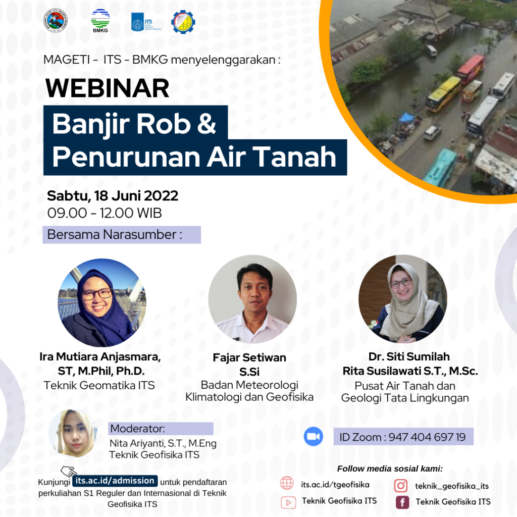
In the past few days, there have been ROB floods in various regions in Indonesia and the main news on the North Coast of Semarang and its surroundings. There are several causes of tidal flooding, including (1) sea level rise due to tides, (2) water, wind, or swell impulses (waves that move very far away from their generating area), (3) storms at sea and (4) melting of polar ice caps due to global warming. The phenomenon of rising sea waves is a routine occurrence every early and mid-hijri month. Certain periods of sea waves can be higher than usual. The ROB flood can expand and continue to expand if the coastal area experiences land subsidence.
Land subsidence is a process of land subsidence in a large area that can occur naturally due to tectonic processes, faults grow in the delta deposition area, there are cavities (caves) under the ground and consolidation. Subsidence due to tectonic forces, growing faults and consolidation and excessive groundwater extraction can cover a large area, while the settlement due to cave collapse, salt water extraction and oil and gas extraction is relatively small, even building loads can affect a very narrow area (only between buildings). ). Land subsidence is generally due to a combination of tectonic subsidence, consolidation and or due to groundwater extraction and or building loads, which have occurred in several big cities, such as in Jakarta, Semarang, Bangkok, Shanghai, and Tokyo.
This webinar “ROB Floods and Land Subsidence” presents speakers from BMKG, Center for Groundwater and Environmental Geology (PATGL) and from the Research Center for Disaster Management and Climate Change who will explain about tidal flooding, measuring and monitoring land subsidence.
ITS Geophysical Engineering with PP MKPI ITS, BMKG and MAGETI-IAGI presents WEBINAR “Banjir ROB dan Penurunan Muka Tanah” inviting resources speakers:
-
Ira Mutiara Anjasmara, ST, M.Phil, Ph.D.(Teknik Geomatika ITS)
-
Fajar Setiwan S.Si (BMKG)
-
Dr. Siti Sumilah Rita Susilawati S.T., M.Sc. (Pusat Air Tanah dan Geologi Tata Lingkungan)
which will be held on:
- Day/datel: Saturday, 18 June 2022
- Time: 09.00-12.00 WIB
- Zoom: its.id/GeoLectures
This event is free and open for public. The presentation of resource speakers could be accessed through the following link:

Latest News
-
GUEST LECTURE by Mr. Diego López from Universidad de El Salvador
ITS Geophysical Engineering presents Guest Lecture: Self-Potential Measurement in Mining Prospects With resource speaker: Mr. Diego López (Universidad de
-
IKOMA Temu OrtuMaba 2025
ITS congratulates the parents of the 2025 new students on their arrival as part of the ITS academic
-
Kuliah Lapangan Karangsambung, Ajang Mahasiswa Mengaplikasikan Prinsip Stratigrafi
Departemen Teknik Geofisika ITS telah menyelenggarakan Kuliah Lapangan mulai 1 s.d 9 Juli 2025 sebagai bentuk praktikum dari Mata


