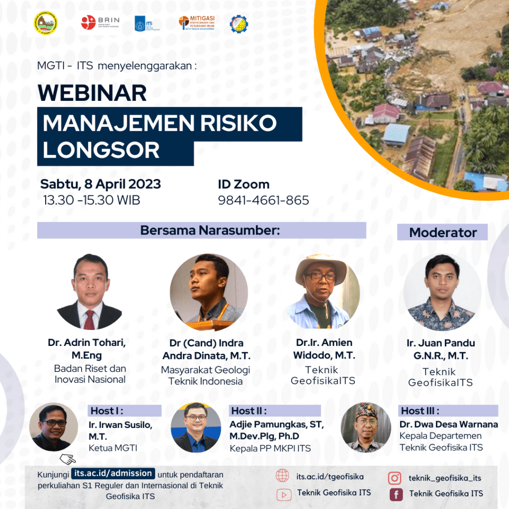
Webinar #65 “Manajemen Resiko Longsor”
Information
BNPB called landslides the deadliest disaster in Indonesia. Landslide disasters were recorded in 2019 as many as 719, 2020 – 1024, 2021 – 1321 and in 2022 as many as 623. In early 2023, BNPB said the landslides in Natuna were one of the worst in history which caused more than 50 victims and 4 people were still unaccounted for. found.
BPBD East Java said that several areas had begun to appear cracks, subsidence and moving ground in several regencies such as Situbondo, Ponorogo, Jombang, Jember, Bondowoso and so on. Some of the experiences of landslides in East Java all started with cracked ground, subsidence and ground movement on the slopes of the mountain. In general, the people who live under them are not aware of this or some are aware but do not want to move so they become victims. Such as what happened at Jember 2006, Ngrimbi Jombang 2014, Banaran Ponorigo 2017 and Sawahan Nganjuk 2021.
This means that landslides do not suddenly occur, there are processes and mechanisms and generally there are signs that are typical before the occurrence of landslides. These signs include the appearance of cracks on the slopes, subsidence or movement of the ground. Because the slope of the land moves, it will be followed by many trees, electricity poles and house fences tilted, and it often happens that the doors or windows cannot be opened. When the crack widens, rainwater that falls can seep through the crack and will continue to increase in number so that the slope becomes heavier and ready for landslides.
Geophysics Engineering Department – Indonesian Geological Engineering Society (MGTI) – BRIN – PP MKPI ITS – East Java BPBD collaborated to hold a webinar based on the results of a comprehensive and integrated landslide disaster study. The aim is to share comprehensive landslide research experiences with the hope that it can be used as a reference for mitigation and management of landslide disasters in various regions in Indonesia.
ITS Geophysical Engineering presents webinar with the topic “Manajemen Resiko Longsor”, inviting resource speakers:
- Dr. Adrin Tohari, M.Eng (Badan Riset dan Inovasi Nasional)
- Dr (Cand) Indra Andra Dinata, M.T. (Teknik Geologi ITB)
- Dr. Amien Widodo (Teknik Geofisika ITS)
Speech Opening will be delivered by::
- Gatot Soebroto, S.E., M.PSDM (Kepala Pelaksana BPBD Jatim)
Act as moderator :
- Ir. Juan Pandu Gya Nur Rochman, M.T. (Teknik Geofisika ITS)
As Host:
- Ir. Irwan Susilo, M.T. (Ketua MGTI)
- Adjie Pamungkas, ST, M.Dev.Plg, Ph.D (Ketua PP MKPI ITS)
- Dr. Dwa Desa Warnana (Kepala Departemen Teknik Geofisika ITS)
which will be held on
- Saturday, 8 April 2023
- 13:30 – 15:30 WIB
- Zoom : https://its-ac-id.zoom.us/j/98414661865
The presentation of speakers could be accessed through link below:
- Dr. Adrin Tohari, M.Eng (Badan Riset dan Inovasi Nasional)
- Dr (Cand) Indra Andra Dinata, M.T. (Teknik Geologi ITB)
- Dr. Amien Widodo (Teknik Geofisika ITS)

Latest News
-
Beradaptasi dengan Sesar Aktif Penyebab Gempa Darat, Belajar dari Gempa Myanmar
1. Belajar dari Gempa Myanmar Jumat, 28 Maret 2025, pukul 13:20:56 WIB wilayah Mandalay, Myanmar, diguncang gempabumi tektonik. Gempa
-
Kembangkan Deep Nueral Network dan IOT Dalam Carbon Capture Storage, Mahasiswa Teknik Geofisika ITS Sabet Juara 2
Dua Mahasiswa Teknik Geofisika ITS berhasil menjuarai kompetisi nasional INCEPTION 2025. Dimas Xavier Saivascello (5017241010) dan Luvin Diart Lazertino
-
Mahasiswa Teknik Geofisika ITS Sabet Juara 1 Petrowell Study Case Competition
Tiga Mahasiswa Teknik Geofisika ITS berhasil menjuarai kompetisi nasional di bidang Oil & Gas. Tim mahasiswa yang terdiri E.T.A.


