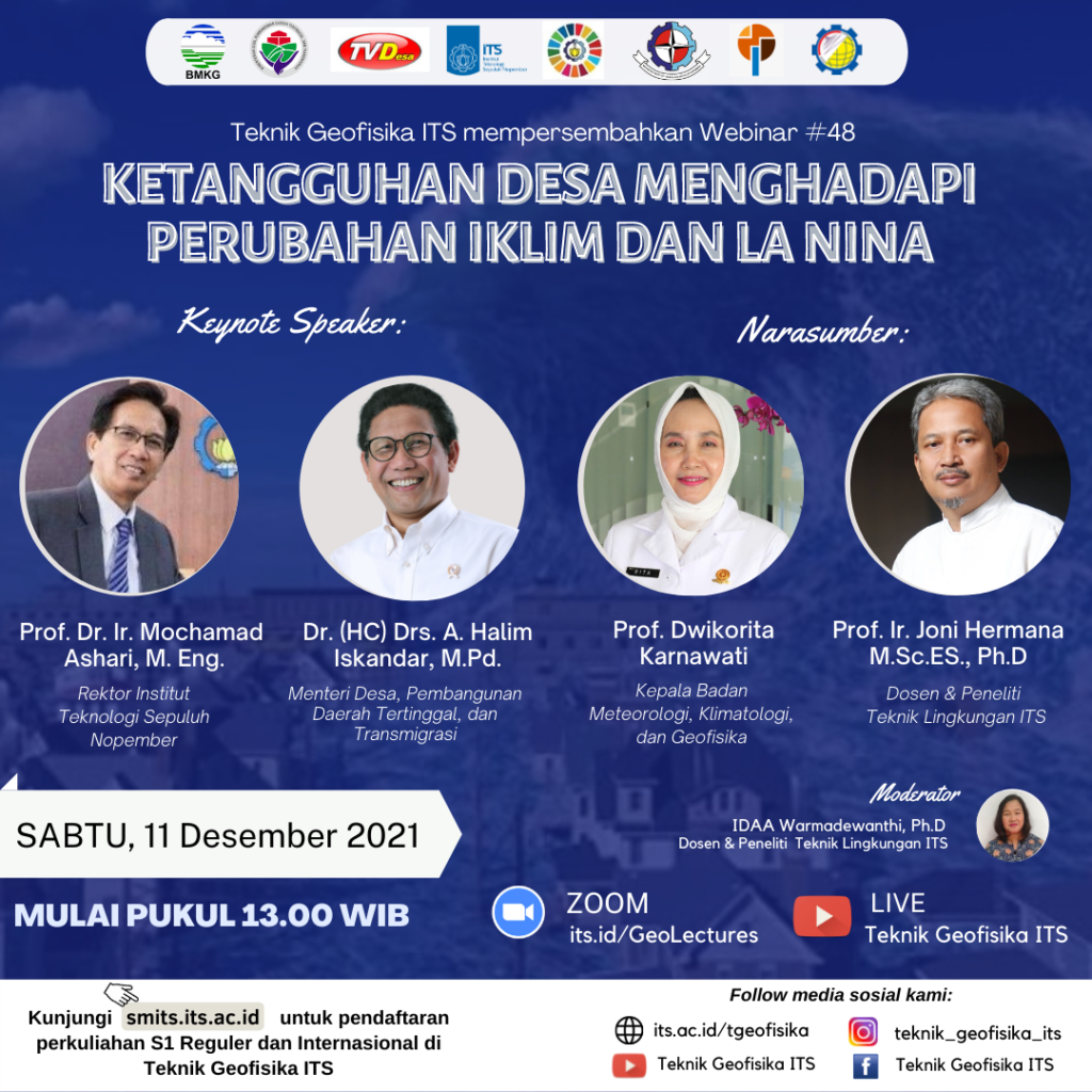
Webinar Ketangguhan Desa Menghadapi Perubahan Iklim dan La Nina
Information
Badan Nasional Penanggulangan Bencana (BNPB) has carried out monitoring of a total of about 83 thousand villages and sub-districts in Indonesia, more than 53,000 villages and sub-districts are in disaster-prone areas. Of the various disaster events, almost 90 percent are hydrometeorological disasters, while 10 percent are geological disasters.
Climate change and the La Nina phenomenon will increase the threat of hydrometeorology and trigger floods, landslides, flash floods, hurricanes, extreme waves and abrasion.
For this reason, enlightenment and practical knowledge are needed in efforts to adapt and mitigate climate change and increase awareness of the arrival of La Nina. The hope is to build the resilience of rural communities to face hydrometeorological disasters.
We Department of Geophysics Engineering ITS, Center for Study of SDGs ITS, PP MKPI ITS, MAHAGANA ITS, in collaboration with KEMENDES PDTT, BMKG and TVDesa held a webinar on:
We invite resource persons who are competent in their fields, namely:
- Prof. Dr. Ir. Mochamad Ashari, M. Eng. (Rector ITS)
- Dr. (HC) Drs. A. Halim Iskandar, M.Pd. (Ministry of Desa, Pembangunan Daerah Tertinggal, dan Transmigrasi)
- Prof. Dwikorita Karnawati (Head of BMKG)
- Prof. Ir. Joni Hermana M.Sc.ES., Ph.D (Lecturer and Researcher of Environmental Engineering ITS)
Lets join on:
- Saturday, 11 December 2021
- 13.00 – drop
- Zoom : its.id/GeoLectures
The presentation of speakers could be accessed through these link

Latest News
-
Pertajam Keilmuan Petrofisikamu dengan Studi Kasus Di Dunia Oil and Gas, dalam PETROPHYSICS TRAINING 2025!
Teknik Geofisika ITS mengajak anda untuk mendalami pengetahuan dan masalah-masalah yang terjadi seputar Petrofisika dalam acara PETROPHYSICS TRAINING 2025.
-
Kuliah Tamu “Bahaya Geologi Penurunan Tanah Daerah Pesisir Pantai Utara Jawa”
Teknik Geofisika ITS menyelenggarakan Kuliah Tamu “Bahaya Geologi Penurunan Tanah Daerah Pesisir Pantai Utara Jawa” dengan mengundang narasumber dari
-
WEBINAR “CERITA SUKSES UGG KEBUMEN & UGG MERATUS”
Teknik Geofisika ITS dan Ikatan Ahli Geologi Indonesia (IAGI) menyelenggarakan webinar “Cerita Sukses UGG Kebumen dan UGG Meratus”, mengundang


